What is under the house? Soil type and radon on the map
The ground decides drainage, foundations and radon risk, and never shows up at a viewing. The Geological Survey of Sweden's soil map is now on the map.
You can have a house inspected in detail. The ground it stands on you never see. Yet the ground is often what decides whether the basement gets damp, whether the foundation moves, and how much radon seeps in.
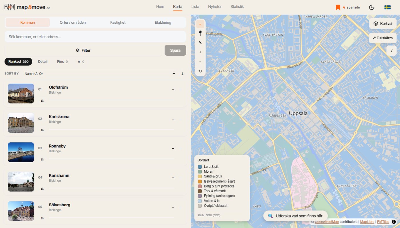
The soil map from the Geological Survey of Sweden is now a layer on the map, together with a radon risk derived from it.
What you see
Switch the layer on and the ground is coloured by what it actually consists of: till, clay, sand, gravel, peat, exposed bedrock and so on. Zoom to an address and you see what lies under that particular plot, and where the boundary to the next soil type runs, often straight through a residential area.
Why it matters when you move
- Clay brings settlement and poor drainage. Many problems in older houses in central Sweden start there.
- Gravel and eskers drain beautifully but are the classic high risk ground for radon, because the ground is permeable and air moves through it easily.
- Peat is poor building ground and can mean expensive foundation work.
- Bedrock is stable but makes blasting expensive if anything needs building or digging.
- Till is Sweden's most common ground and usually undramatic.
None of this makes a plot bad. It does make it predictable, and it gives you concrete questions to bring to the survey rather than a general unease.
Important about the radon layer
The radon risk on the map is derived from soil type, not measured. It tells you which kind of ground tends to produce elevated readings. It says nothing about the individual house, where the foundation, ventilation and building materials matter at least as much. Certain aerated concrete in the walls can produce high readings on ground the map shows as calm.
Use the layer as an indication of whether you should measure, not as a measurement. A radon test is done during the heating season and takes two months, and it is cheap compared to what it can save.
How to use it in practice
Look at the soil type before you go to a viewing. If the plot sits on clay near a watercourse, ask about drainage and damp. If it sits on a gravel esker, ask whether there is a radon measurement and when it was done. It takes a minute and makes you the best prepared person in the room.
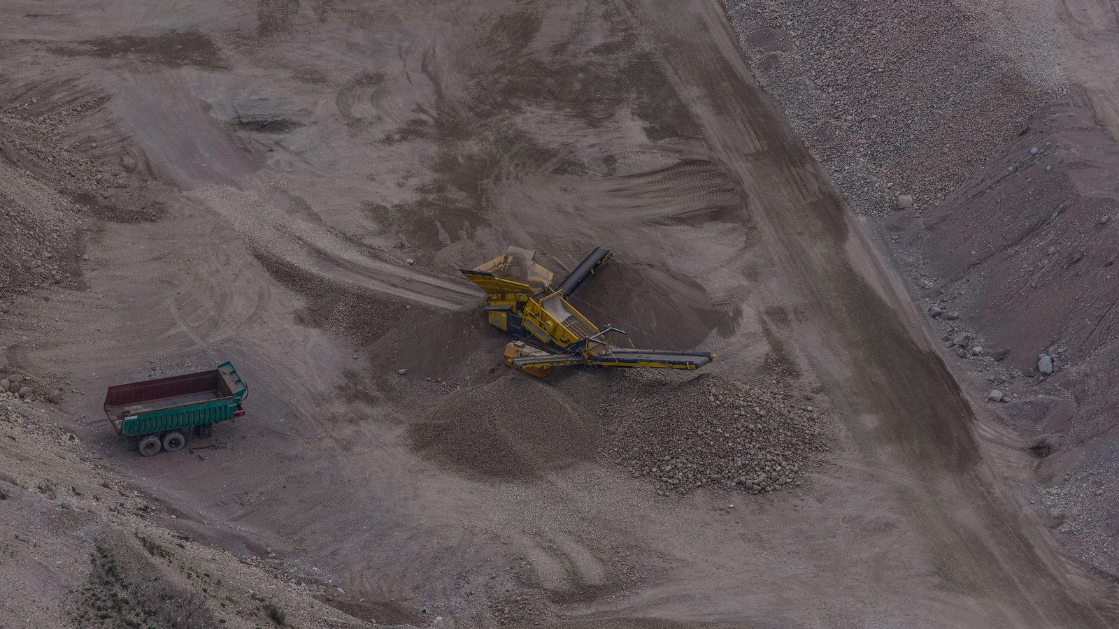
Photo: Arild Vågen, gravel pit on Ekerö, Sweden, 2014. Licensed under CC BY-SA 4.0. The image has been cropped and downscaled.
One municipality at a time, straight to your inbox.
A letter every other week. No ads, no reselling.