What is actually within walking distance?
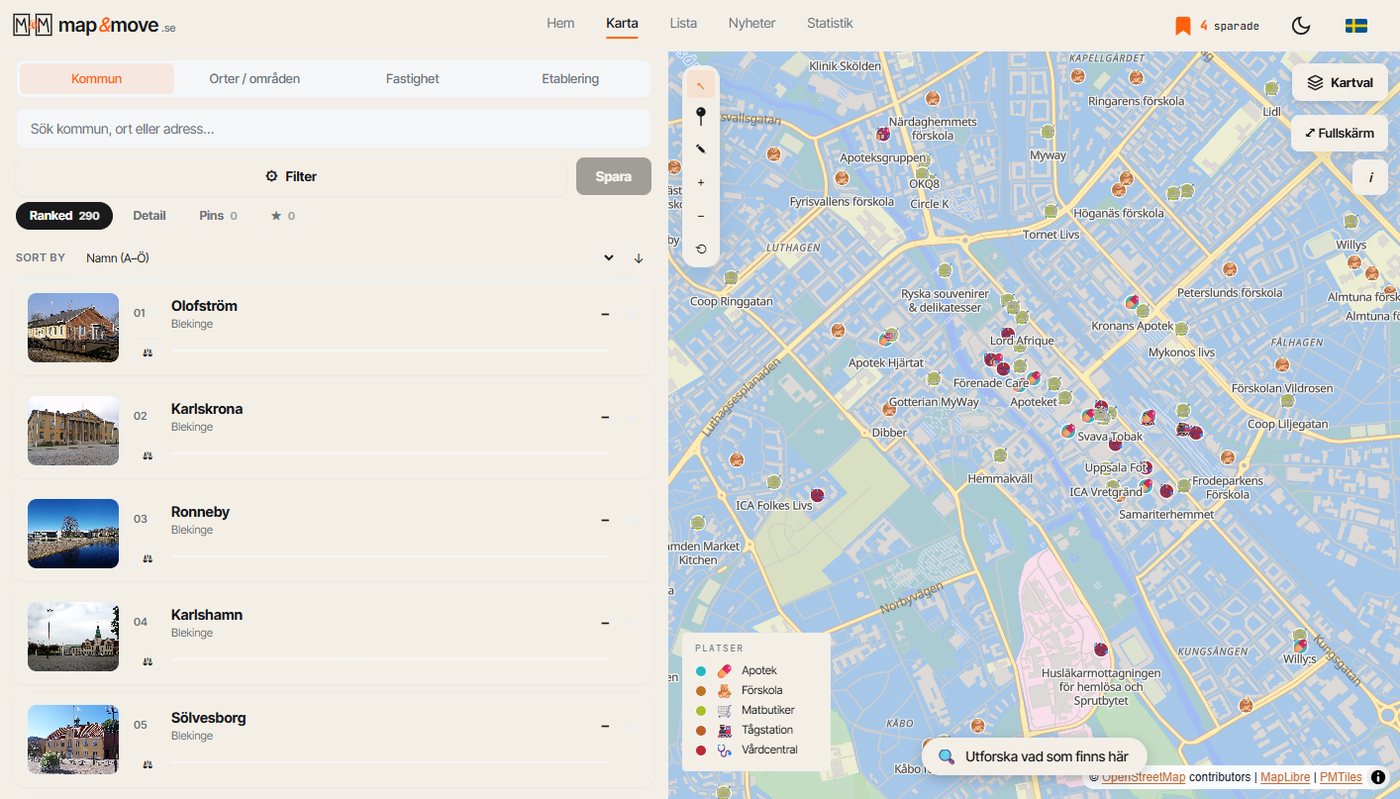
The map carries around 120 categories of places in fourteen groups, from health centres and grocery shops to bars and sports halls. Switch on the ones you care about and the area answers for itself.
Living somewhere is largely a matter of doing the same ten things over and over. Buying food, dropping off at preschool, training, collecting a parcel, going to the health centre, having a coffee. How far it is to those ten things shapes daily life more than almost anything inside the home.
Fourteen groups, around 120 categories
The map carries a catalogue of places drawn from OpenStreetMap, sorted into fourteen groups: food and drink, health and care, school and childcare, retail, services, culture, sport, transport, nature and outdoor life, and a few more. Inside them sit around 120 categories, everything from grocery shops, health centres, pharmacies and dentists to bakeries, off licences, padel courts and dog parks.
You switch on the ones you care about, one at a time or several at once. The map fills with symbols and you immediately see whether the area is dense or thin on what you need.
This is not a search box
The difference from searching for a business in a search engine is that you do not need to know what you are looking for. Switch on grocery shops across the whole municipality and you see the pattern: where the shops cluster, which villages have none, and how far apart they are along the road rather than as the crow flies.
See a place you like and you can pin it straight from the map, with the right symbol and name. It then travels with you into your comparisons instead of becoming a memory you think you have.
A couple of things to know about the data
The material comes from OpenStreetMap, which is built by volunteers. Coverage is excellent in towns and uneven in the countryside, and a shop that closed last year can linger until somebody corrects it. Treat it as a map of what exists, not a guarantee that everything is open today.
It also means you can improve it. If something is missing in your village you can add it to OpenStreetMap, and it shows up here at the next update.
Try it like this
Take the address you are considering. Switch on grocery shops, preschools, health centres and train stations at once. Drop a pin on the address and run Analyse the location, and you get walking, cycling, driving and public transport times to the nearest of each. Two minutes of work, and you know more about daily life there than most people know about their own block.
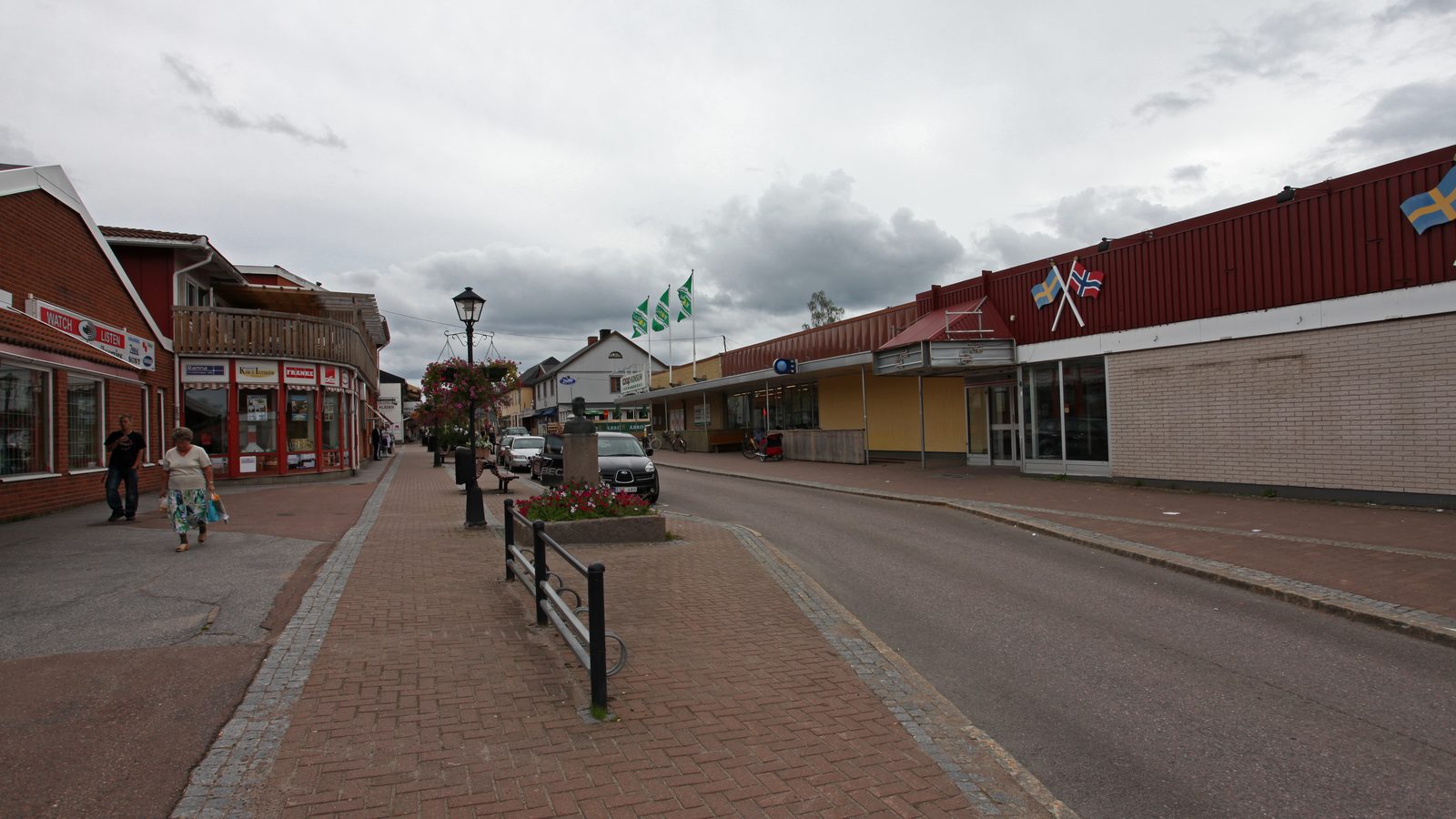
Photo: Trond Strandsberg, high street in Charlottenberg, Eda municipality, Sweden, 2009. Licensed under CC BY-SA 3.0. The image has been cropped and downscaled.
One municipality at a time, straight to your inbox.
A letter every other week. No ads, no reselling.