Zoom in far enough and the map stops talking about municipalities
Property mode colours individual plots by construction year, plot size, assessed value, noise level and distance to everything from the grocery shop to the power line.
A municipality is an administrative box. A house is a place. The entire difference between statistics and reality sits between those two, and the map now goes all the way down.
What happens when you zoom
Switch the region level to Fastighet, property mode, and zoom in. The map stops colouring municipalities and starts colouring individual properties. Every plot becomes its own shape that you can click and read.
What exists per property includes:
- Plot area, building area and year built
- Assessed tax value
- Noise level and a view score
- Distance to forest, water, the sea, farmland, the nearest town, grocery shop, school and train station
- Distance to major roads, railways, industry, power lines and wind turbines
That last line is the one that tends to surprise people. No listing mentions that the plot sits four hundred metres from a power line, or that the industrial estate starts behind the trees. The map says so without being asked.
Colour by what you care about
The point is not looking up a single address, you can already do that. The point is colouring all the properties in view by one measure at once. Pick year built and the whole area tells you its building history at a glance. Pick distance to water and you see exactly where the desirable zone ends. Pick noise level and you see which streets pay for being close to the main road.
It is the same thing an experienced local agent knows after twenty years, except in ten seconds and for all of Sweden.
Two warnings
Assessed value is not market value. It is an official valuation that lags behind, useful for comparing properties with each other but not for guessing a sale price.
View and noise are modelled, not measured. They are derived from terrain, buildings and proximity to roads. They are good at pointing out differences between plots, but they do not replace standing there on a Tuesday afternoon when the traffic is at its worst.
Use property mode to rule things out and to find the questions worth asking. You collect the answers on site.
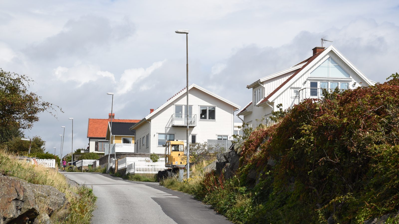
Photo: Mattias Blomgren, residential street on Fotö, Öckerö municipality, Sweden, 2017. Licensed under CC BY-SA 4.0. The image has been cropped and downscaled.
One municipality at a time, straight to your inbox.
A letter every other week. No ads, no reselling.