Everything you do not know when you move within Sweden
You can research the home in detail and the life around it barely at all. Here are the uncertainties that make moving hard, what we can answer today, and where pin mode is heading.
A property listing tells you the square metres, the year the kitchen was replaced and the monthly fee. It tells you nothing about what your Tuesday is going to look like.
That asymmetry is what makes moving within Sweden so uncomfortable. You make a decision that ties up your money for twenty years and your daily life for at least five, and the only part you can properly examine is the walls.
The uncertainties, listed honestly
For most people who move, the list looks like this.
- The commute. The map says forty minutes. Reality says forty minutes if the bus runs, if the connection holds, and if you do not have to do preschool drop off first.
- Preschool and school. Is there a place? Where is the nearest one? How far does it feel on a morning in February?
- Healthcare. How close is the health centre, and how close is the emergency room on the evening it actually matters?
- Everyday services. Can you buy food without a car? Is there a train station, and do the trains run on Sundays?
- The environment around the house. Is the road noisy? What is the air like? Does the house sit in shade from October to March? Does the plot flood?
- Safety. Not the feeling in a listing, but what the statistics actually say.
- The finances. Municipal tax differs by several percentage points between neighbouring municipalities. On a normal salary that is a holiday a year.
- The social side. How far will it be to your parents, your friends, your old job? That is the question that makes most people regret a move, and the one no estate agent ever asks.
None of this is secret. It sits in public databases, each in its own silo, in formats no normal person should have to open. We put them on the same map.
What you can answer today
The map currently carries well over a hundred indicators and around 120 categories of places. You can colour all 290 municipalities by house price, income, municipal tax or population growth, but also by hours of sunshine, snow, temperature and rainfall day by day. You can add soil type and radon risk, electricity zones and electricity prices, school eligibility, broadband, perceived safety and violent crime. You can switch on health centres, grocery shops, preschools, train stations and a hundred other types of place, and zoom all the way down to individual properties with plot area, year built, noise level and distance to everything from the forest to the nearest power line.
And you can plan a real journey. The travel planner runs on our own routing engine with public transport timetables, so "forty minutes" is a computed travel time rather than a straight line guess.
Pin mode: from map layers to your life
This is where it gets interesting, and where our clearest vision sits.
A map layer answers a general question: where is it quiet, where is it expensive, where do a lot of people live. But you are not moving to a general place. You are moving to an address, with a job in one direction, a mother in law in another and a group of friends you do not want to lose.
A pin is a fixed point in your life, placed on the map. You add one by clicking the map or by searching for an address, and you tag it for what it really is: home, work, friend, family or other. See a place on the map you like, and you can pin it directly.
On a home pin there is an Analyse the location button. For that exact point it works out the distance and travel time to the nearest hospital, preschool, primary school, grocery shop and train station. Not as the crow flies, but on foot, by bike, by car and by public transport, through the same routing engine as the travel planner. In other words, you learn how that address behaves in reality before you have seen it in reality.
Where pin mode is going
The goal is for you to be able to map your entire move inside the tool.
Imagine marking everything fixed in your life: the new workplace, your partner's workplace, the parents in another municipality, the closest friend, the summer house, the club you train at. Then you add the homes you are actually considering. The tool should then answer questions no map answers today:
- Which of the three homes gives the lowest total travel time for the whole household, not just for whoever commutes most?
- How much worse does daily life get if you choose the cheaper address twenty kilometres further out?
- Which parts of the municipality satisfy all your requirements at once: under thirty minutes to work, walking distance to preschool, and a grocery shop without a car?
- Where are the areas you would never have looked at, but which actually meet every condition?
We are not all the way there. But the direction is clear, and it differs from what a property portal does. A property portal helps you find a listing. We want to help you find a life that adds up, and then tell you which addresses happen to sit there.
In the meantime
Open the map, drop a pin on the address you are considering and press Analyse the location. It takes under a minute, and as far as we know it is the closest you can get to a factual answer about what daily life in that spot will actually look like.
And if something is missing, tell us on the contact page. Almost every layer on the site exists because somebody asked for it.
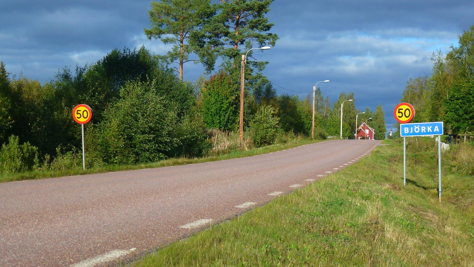
Photo: Holger.Ellgaard, the road into the village of Björka, Sweden, 2015. Licensed under CC BY-SA 4.0. The image has been cropped and downscaled.
One municipality at a time, straight to your inbox.
A letter every other week. No ads, no reselling.